Home Officers Trails Upcoming Events Recent Events Links Join


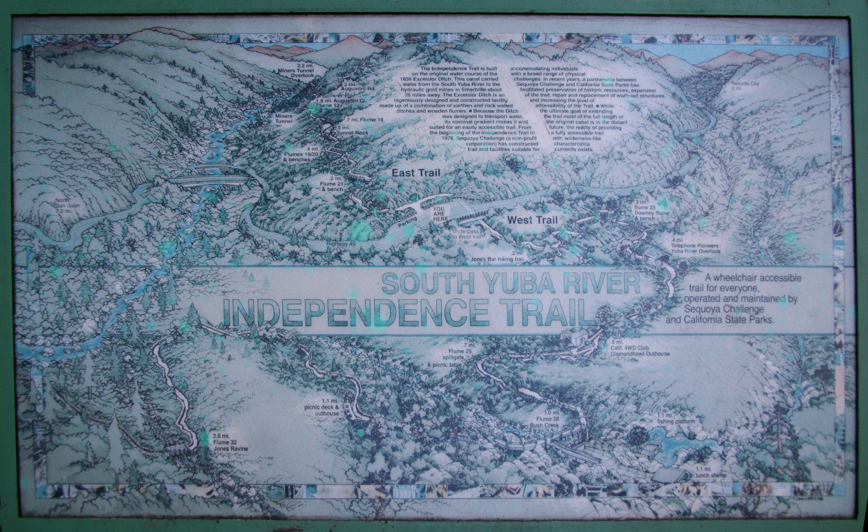
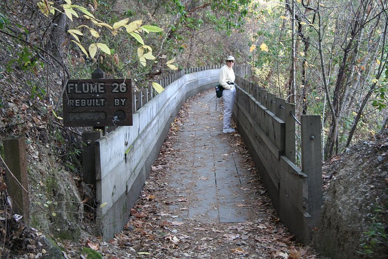
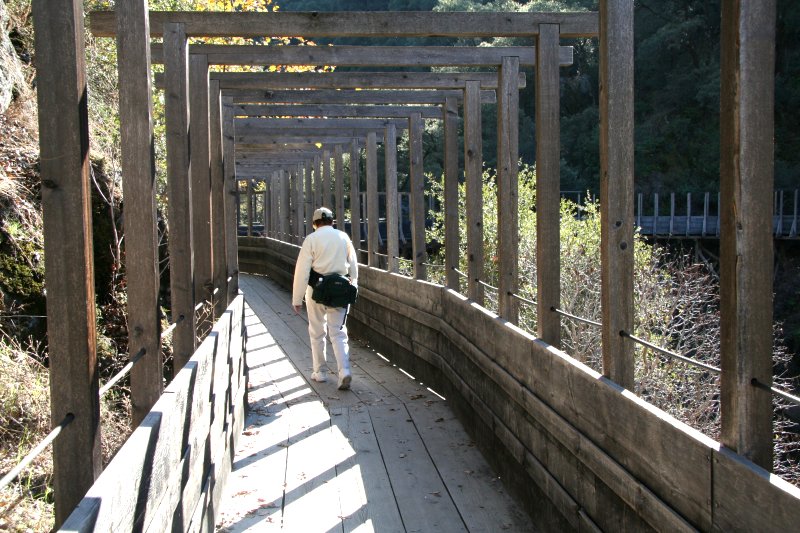
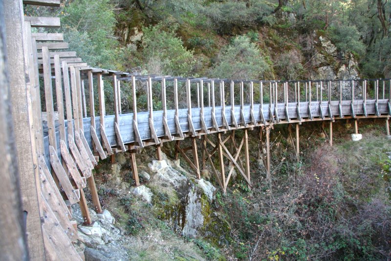
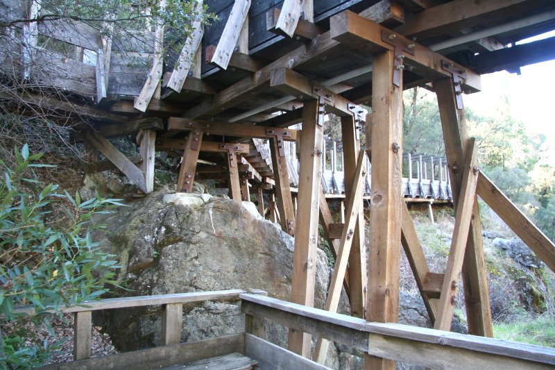
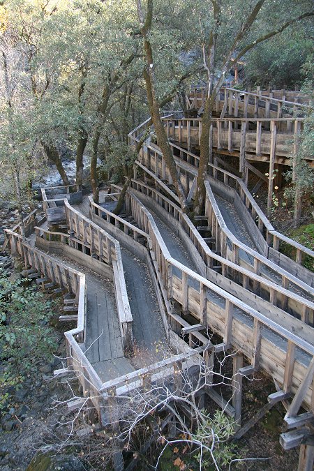
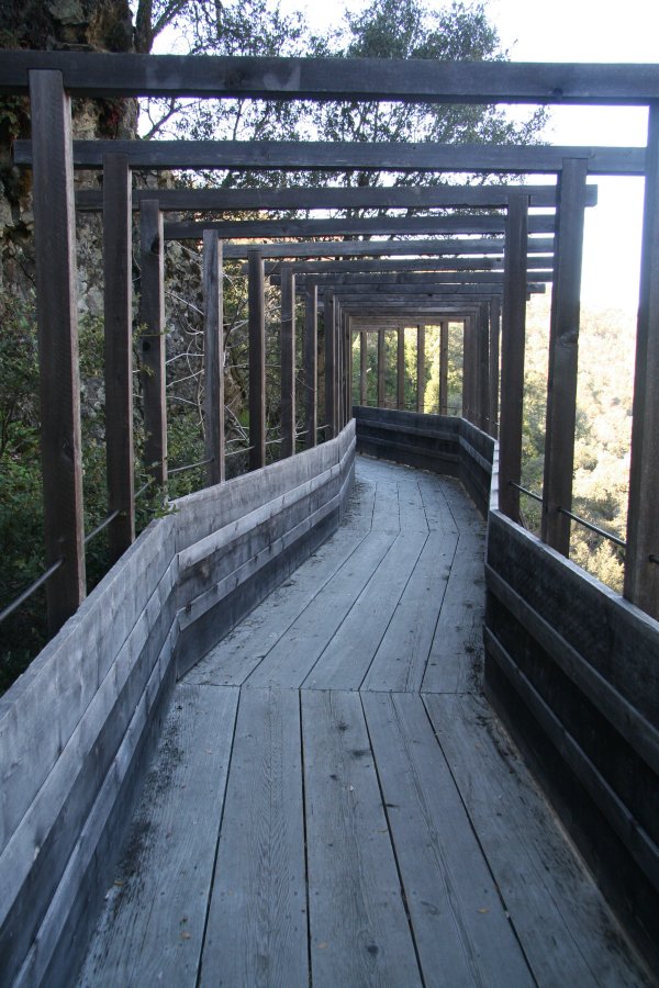
Independence Trail

This is an easy wheelchair accessible trail that goes both upriver and downriver from a trailhead on Route 49 just downriver from 49er Crossing.  Other somewhat more difficult trails sprout from the five miles of wheelchair accessible trail.  Like many SYRSP trails, Independence Trail is built on an old hydraulic mining ditch, this one the 1856 Excelsior Ditch, which is why the slope is gentle enough for wheelchair access.  The photograph below is of a three foot wide weather-resistant map posted at the trailhead.  Click on the picture to open a larger version in a new tab, and click on that picture to expand it to full size.

Useful map and brief history posted at the trailhead


Refurbished water flumes dot the trail, interspersed by more typical woodsy trail.


The trail crosses Rush Creek on a massive flume bridge high above the creek.


It is difficult to capture the full extent of this flume from the trail itself.


Here are a few heavy timber bents that support the bridge, 
these near the wheelchair-accessible drop (next picture) to the creek.


Elaborate foot and wheelchair
access to a waterfall and pool.


Beautiful waterfall and pool at the end of the wheelchair zig-zag


A family enjoys a snack on rocks in the pool.


The beginning of the bridge going back toward the trailhead.


Home